There is so much to see, do and discover throughout the County of Middlesex, so we've compiled some of our most popular maps and mapping tools into this page.


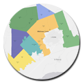
Interactive Mapping
Online mapping and Geographic Information Systems (GIS) services and resources.

A Geographic Information System (GIS) is a set of tools for mapping and analyzing things that exist and events that happen and can play an important role in supporting the day-to-day operations of a municipality. Middlesex County has been using GIS since 1996 on a project basis and since 2005 more widely with the establishment of the Middlesex Geography Network (MGN) partnership. The MGN is a partnership between the County and our local municipalities as well as associated partners that serve our common citizens. We are now undertaking MGN2.0 as we move forward to implement an enterprise GIS system including undertaking a number of new GIS and mapping initiatives.
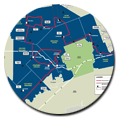
The County of Middlesex is pleased to announce the launch of the new Middlesex Map. In an effort to provide high quality mapping services to County residents, this new map service provides all the same features of the previous Middlesex Map but also includes new features to enhance the user’s experience. The County will continue to enhance the mapping services provided in Middlesex Map in the coming weeks and months, and welcomes your feedback and comments by visiting our Contact the Planning Department page.
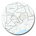
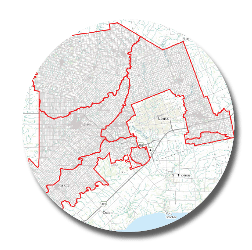
Printed Maps
Maps available to be downloaded and printed.
To provide feedback and comments, please visit the Contact the Planning Department page.